


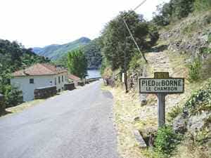
From L'Etoile, head toward the center of the village and follow the signs for Villefort. Continue along the road until you reach the Pradillou roundabout, then turn right and take the second left onto the D151. Stay on the D151 for approximately 20 km toward Pied-de-Borne, passing through Alzons, Chalbos, Les Baumes, and Pantostier. Cross the bridge over the Chassezac River and proceed along the D51 for 7.8 km to the entrance of Villefort. Take the uphill street on the right leading to the train station. Return to La Bastide-Puylaurent by train (Train schedules).
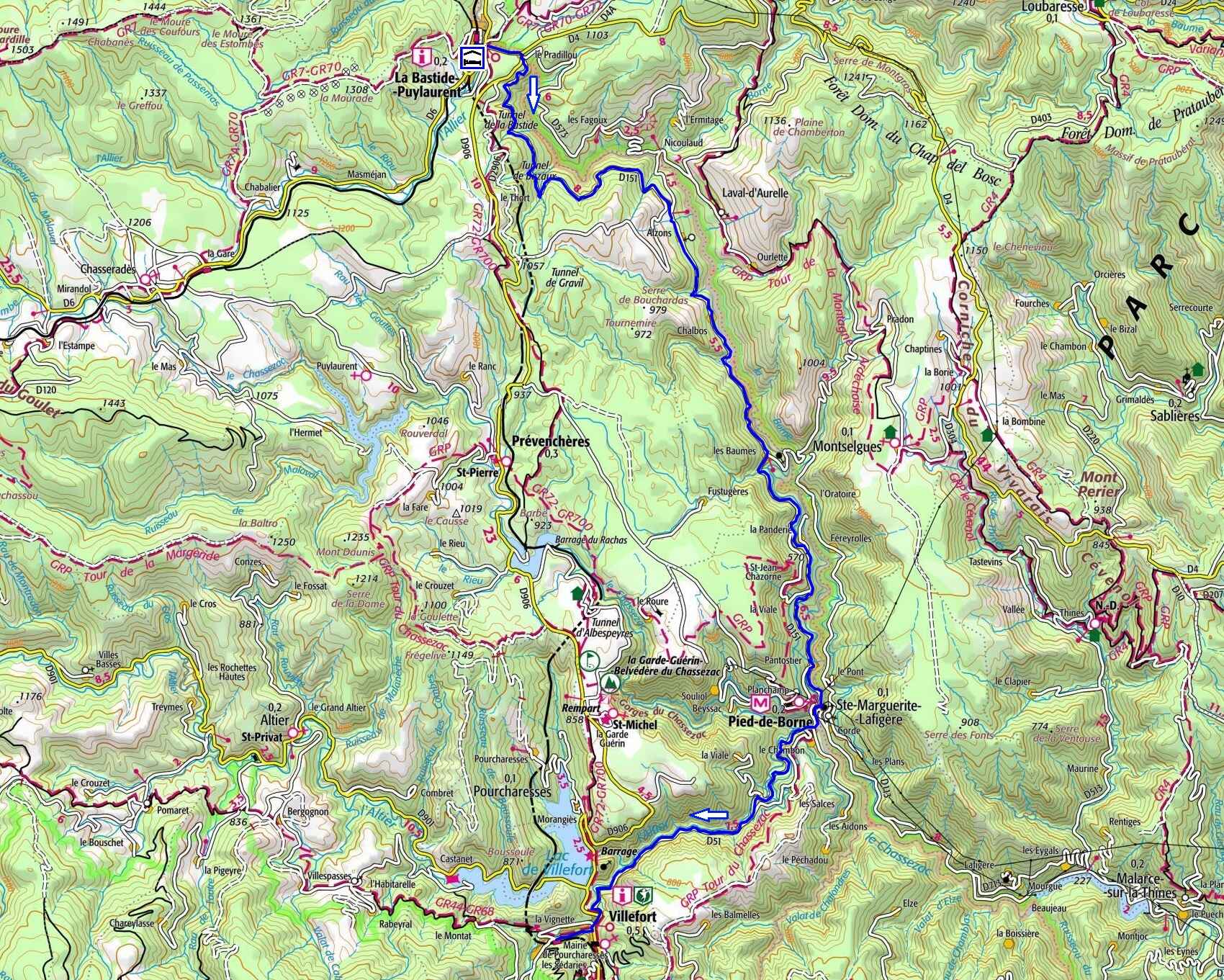
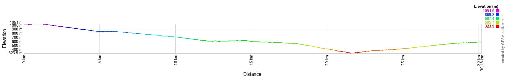
 Distance: 30.11 km
Maximum altitude: 1,050 m
Minimum altitude: 318 m
Total elevation gain: 1,029 m
IGN Maps: La Bastide-Puylaurent (2738E). Mont Lozère Florac PN des Cévennes (2739OT). Largentière, La Bastide-Puylaurent, Vivarais Cévenol (2838OT). Bessèges Les Vans Vallée du Chassezac (2839OT).
Print the route - Electric bike rental
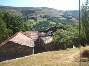
Located within the Mont Lozère massif, the Borne Valley is defined by its deep gorges, dramatically carved by the Borne River. The contrast between the sheer granite cliffs and the lush, vibrant vegetation is truly striking. The river flows at an altitude ranging from 305 to 550 meters above sea level, while the surrounding plateau rises to nearly 1,000 meters. This granite massif boasts a unique geological history: it was separated from Mont Lozère by the Villefort fault, a major seismic event that occurred 305 million years ago. This north-south fault line created a spectacular landscape, characterized by rugged terrain and impressive rock formations.
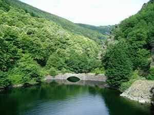
The Altier Valley is renowned for its sweeping landscapes, dense coniferous forests, and crystal-clear waters. The Altier is a wild river that springs from the foot of the Finiels peak—the highest point in Lozère—and winds its way through narrow gorges and verdant valleys. The area hosts a remarkable biodiversity and is home to a rich variety of wildlife, including brown trout, roe deer, wild boars, and birds of prey such as the majestic short-toed snake eagle. The local flora is equally abundant, featuring numerous plant species perfectly adapted to this mountainous environment.
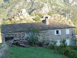
Situated on the ancient Regordane Way, Villefort was once a stronghold of the Châteauneuf-de-Randon family, and later the barons of Tournel. As a vital crossroads, the town was fiercely contested during the French Wars of Religion. It oscillated between Protestant and Catholic control, frequently ransomed by one side or the other. Its close proximity to Mont Lozère made it the northernmost bastion of the Camisards. The architecture in Villefort's historic center is highly characteristic of the region. Many houses feature double-vaulted porches that once served as inns or merchants' workshops—one arch was used to store goods, while the other displayed them. The intricately sculpted lintels above doorways on Rue de l'Église and Rue de la Bourgade offer glimpses into the past lives of their inhabitants, and beautiful mullioned windows from the Renaissance era still adorn several facades.
In the heart of Lozère, nestled within the lush, green folds of Pourcharesses, stands the Château de Castanet, a stunning 16th-century architectural jewel. Its history is deeply intertwined with the French countryside, where ancient chestnut trees reign supreme and seem to whisper secrets of the past. Perched on a promontory, the castle overlooks the Villefort region, an area that historically slipped from the grasp of Gévaudan to place itself under the protection of the Bishopric of Uzès. The lords of Castanet, whose lands stretched all the way to La Garde-Guérin, swore allegiance to the Bishop of Mende. The Castanet estate—named after the Occitan word for chestnut tree, chataîgner—served as a crucial resting place for pilgrims crossing the Massif Central via the Regordane Way to reach the Abbey of Saint-Gilles. It also formed a vital link between Mende and Villefort along the Soteirana route, winding gracefully through the Lot and Altier valleys.