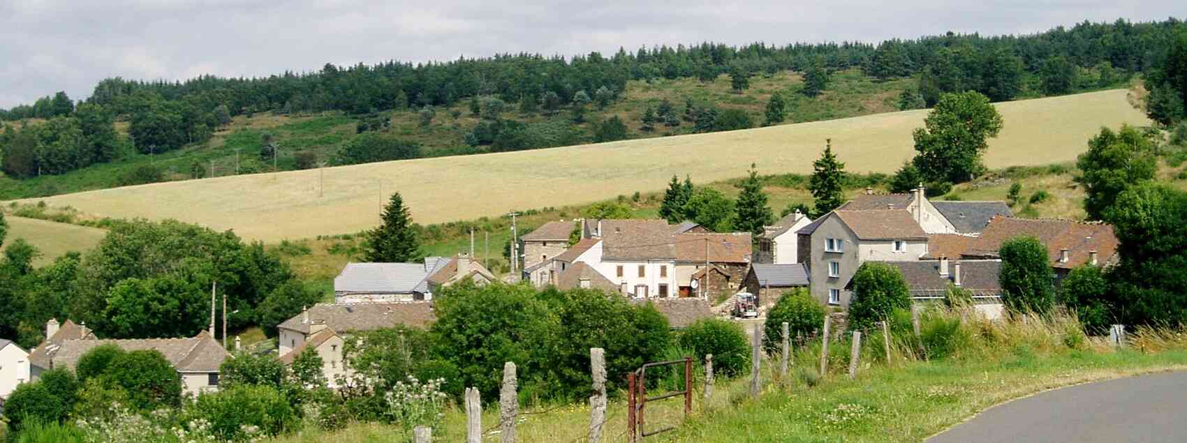
81km bike tour at La Bastide-Puylaurent |
Take the D6 along the Allier, passing through the villages of Huttes, Masmejean, the Château de Chabaleyret, Chabalier, Chasserades, and Mirandol. Continue 1.1 km after Mirandol, then turn left onto the D120 towards L'Estampe. At the top of the Goulet mountain, follow the D20. Magnificent view of Mont-Lozere and long descent to the D901 on the banks of the Lot 1 km from Bleymard. Turn left and follow the D901 along the Lot to the Col des Tribes, then the hamlets of Rochettes Hautes and Basses, as well as the Château du Champ on your right, Altier, and Castanet. At the roundabout, turn left onto the D906 to La Garde-Guerin. Just after the medieval village, turn right onto the old road, now converted into a greenway, which leads to the Rachas dam via Albespeyres. Take the D906 again, turning right, cross Prevencheres to reach La Molette, then turn right onto the old abandoned road to the Pradillou roundabout. From there, turn left to reach La Bastide.

20,5km - 25km - 27,7km - 30km - 35,2km - 37km - 41,5km - 44km - 48,4km - 57,5km - 59,4km - 60km - 60,5km - 69km - 70km - 76,8km - 77km - 81km - 90km - 95,7km
Google Maps - Google Earth - GPX


 Distance: 81km. Maximum altitude: 1475m. Minimum altitude: 590m. Cumulative elevation gain: 1633m.
IGN maps: La Bastide-Puylaurent (2738E). Le Bleymard (2738O). Mont Lozere Florac PN des Cevennes (2739OT). Largentiere la Bastide-Puylaurent Vivarais Cevenol (2838OT).
Print the route - Bike rentals
Guillaume Perier, originally from the village of Lestampe, became the last lord of Lestampe and the last baron of Mirandol. Born in 1720 into a bourgeois family, he distinguished himself by his intelligence and business acumen. After studying and working as a lawyer, he began collecting taxes, becoming a tax farmer in Languedoc and Aquitaine. Thanks to his skill, he acquired vast lands and was named baron of Mirandol in 1785. Perier held prestigious positions, including advisor to King Louis XVI, but the Revolution of 1789 ruined his fortune and ended his title. He died in Paris in 1792, without a direct heir. The Château de Lestampe, despite the ravages of time, retains traces of its past splendor. Perier, known for his cunning, is said to have used a trick to win an auction of general farms by presenting false boxes supposedly filled with treasure, which fueled his legend. Today, the Lestampe estate is preserved by a couple who maintain this place full of history.
Mont Lozere, the highest point in the south-east of the Massif Central, is a granite mountain marked by landscapes shaped by glaciers and rivers, offering an impressive panorama of the Cevennes and the Causses. This place is rich in history and heritage, with castles, churches and ancient remains that bear witness to the influence of lords and significant events such as the Wars of Religion, during which the Huguenots found refuge there. In natural terms, Mont Lozere has remarkable biodiversity, preserved in protected areas such as the Cevennes National Park. Its varied flora and fauna include deer, grouse, dragonflies, orchids, and many species adapted to different natural environments: forests, moors, peat bogs and meadows. The local economy is based on tourism, agriculture and crafts, attracting thousands of visitors each year with its beauty and cultural traditions, including transhumance, an ancient practice of grazing at high altitude that helps preserve ecosystems. Mont Lozere is also a space of living cultural memory, with Occitan traditions, local festivals, and inspiring landscapes that Robert Louis Stevenson immortalized in his writings.
The Château du Champ, located near the Altier River in the Cevennes National Park, is a historic monument remarkable for its pepper pots and massive architecture. Listed since 1942 and included in the supplementary inventory of historic monuments in 1965, this castle dates back to the 13th century on a former residential site. The Altier family is at the origin, with tensions between co-lords that led to the construction of this castle to guarantee their independence. The d'Altier line continued until Delphine d'Altier, who, after marriages with local nobles, founded a new branch of the family. In the 18th century, the alliance with the Budos family further extended the prestige of the Borne d'Altier. During the Revolution, the castle was seized and its towers razed, but it was bought back by a member of the family. After several transmissions, it came to the Varin d'Ainvelle family.
The Castanet castle, built in the 16th century in Lozere, is a historical vestige that dominates the valley around Villefort. Once the property of the lords of Castanet, it served for a long time as a relay for pilgrims, linking Mende and Villefort. In 1572, Jacques d’Isarn de Villefort began building the Castanet manor, which his descendants enriched. Over time, the d’Isarn family abandoned the castle, which changed hands until it became national property during the French Revolution. The castle had many owners over the centuries, but it almost disappeared in the 1950s because of a dam project. Listed as a historical monument in 1964, it was saved from destruction. Subsequently, it became a cultural venue hosting art and photography exhibitions until a fire in 2000. After major restoration work, the castle reopened in 2006, today welcoming visitors and serving as a witness to local history.
