Leaving L'Étoile park through the gate, turn left and cross the Allier River via the footbridge. Proceed to the back of the church to join the GR®700 Voie Régordane, which you will follow all the way to Villefort. The path passes in front of the cemetery, then crosses the D906 to rejoin the old road a little further on. Two kilometres later, turn right and head up to the hamlet of Thort, situated on the watershed line. Then pass by the Dolmen of Thort, or Palet de Gargantua, and continue straight to La Molette. After this hamlet, on the D906, the trail veers left and then right. Follow the GR®700 markers to the footbridge over the Chassezac River, then pass through Albespeyres to arrive at La Garde-Guérin. The Voie Régordane then descends towards the Villefort dam. Upon arriving in the village, turn right and walk up to the train station, located 700 metres further along. Return by train (SNCF timetables).
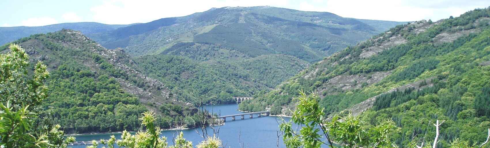
Hike towards Villefort via La Garde-Guérin and the GR®700
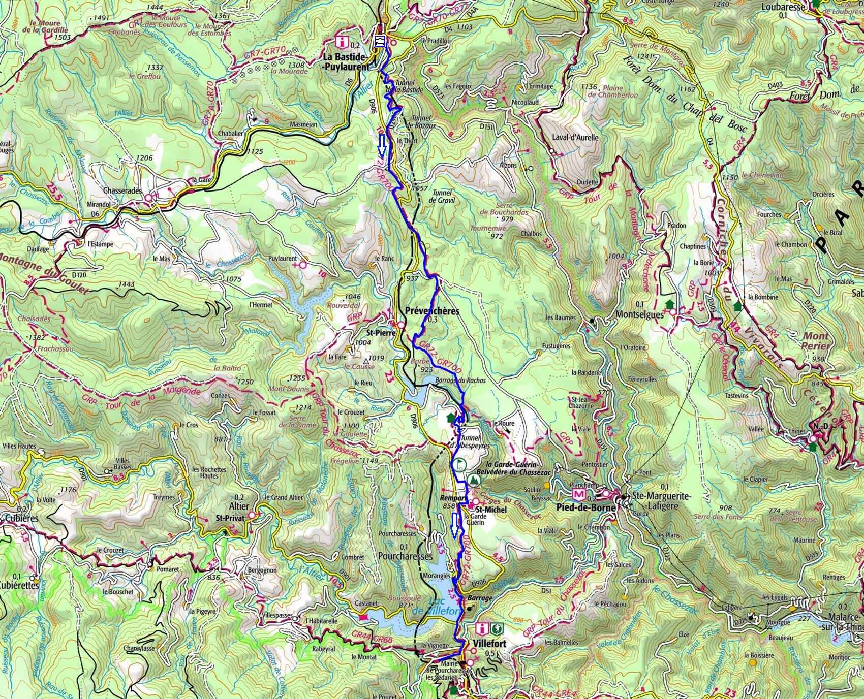


 Distance : 23.2 km
Maximum altitude : 1,125 m | Minimum altitude : 576 m
Total elevation gain : 386 m
IGN Maps : La Bastide-Puylaurent (2738E) / Mont Lozère Florac PN des Cévennes (2739OT) / Largentière La Bastide-Puylaurent Vivarais Cévenol (2838OT).
🖨️ Print the hike instructions
The Voie Régordane predates humanity, tracing a north–south geological fault where shifting tectonic plates opened up mountain passes. Most notably, a major pass south of Villefort provided a low-altitude crossing through the 60-kilometre barrier formed by Mont Lozère and the Mas de l'Aire range. This fault gave rise to numerous springs along the route.
Early animals instinctively followed this path, moving from spring to spring and pass to pass in a natural migration. Millennia later, humans followed, forging a basic drovers' track. Some believe it was used by tin convoys travelling between the Phoenician ports of Saint-Valery-en-Caux in Normandy and Saint-Gilles. The Romans likely used it to transport metals extracted on both sides of the route, in places dedicated to the god of commerce and industry, such as Mercoire, Mercoirol, and Mercouly.
However, it didn't become a major route until the Middle Ages. The division of the Carolingian Empire placed the Rhône Valley within the Germanic Empire, making the Régordane Way the easternmost route of the Kingdom of France. It was during this period (12th–13th centuries) that the transport of goods developed considerably, thanks to advances in the harnessing of draught animals. People realised that animals pull with their weight (just like humans do), rather than relying on the so-called 'discovery' of the horse collar—a method the Egyptians already practiced during Tutankhamun's reign, fourteen centuries before Christ.
The route was laid out across the high plateaus of Thort, La Molette, and La Garde-Guérin, and carved into the schist on the slopes of the Cèze valleys. In the villages along the way, houses were built over large warehouses opening onto the main street through pointed archways, remnants of which can still be seen in Génolhac in the Gard department. Small carts, carrying no more than 500 kilograms due to the materials used in their construction, traveled along this route.