


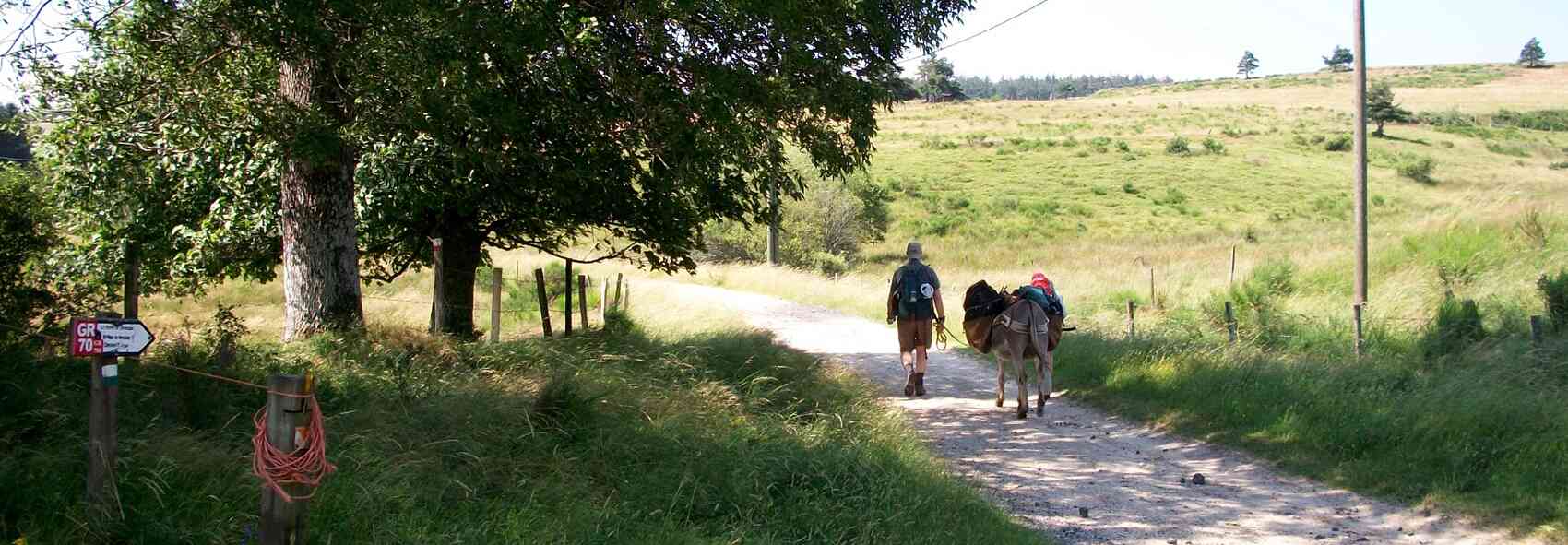
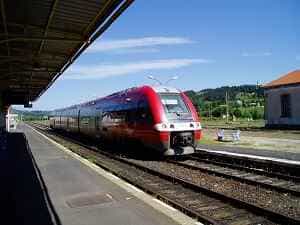
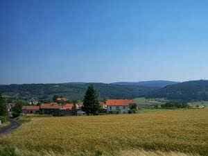
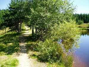
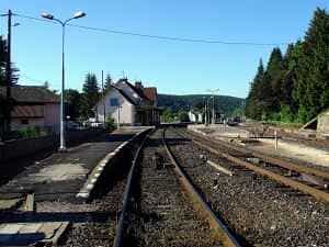
Take the train from La Bastide Saint Laurent les Bains station, located 300 metres from L'Etoile, towards Langogne (SNCF schedules). For the return journey, follow the GR700, the Voie Régordane, for almost the entire route. Upon exiting Langogne station, take the road opposite that gently ascends to the cemetery; you will then be on the Voie Régordane. Follow the markers through the town centre, over the bridge crossing the Langouyrou river, up the incline towards Brugeyrolles, past the Malacombe stream, Esfagoux, the Auradou pond, Luc, Pranlac, and Laveyrune. In Laveyrune, leave the GR700 and the markers to continue straight on the D154 road. At the top, take the diagonal path on your left leading to Rogleton. Cross the D906 road, then go over the bridge crossing the Allier river. Take the path on the left that runs alongside the railway. After crossing the Fraisse stream, pass under the railway through a tunnel, then turn left to reach La Bastide-Puylaurent.
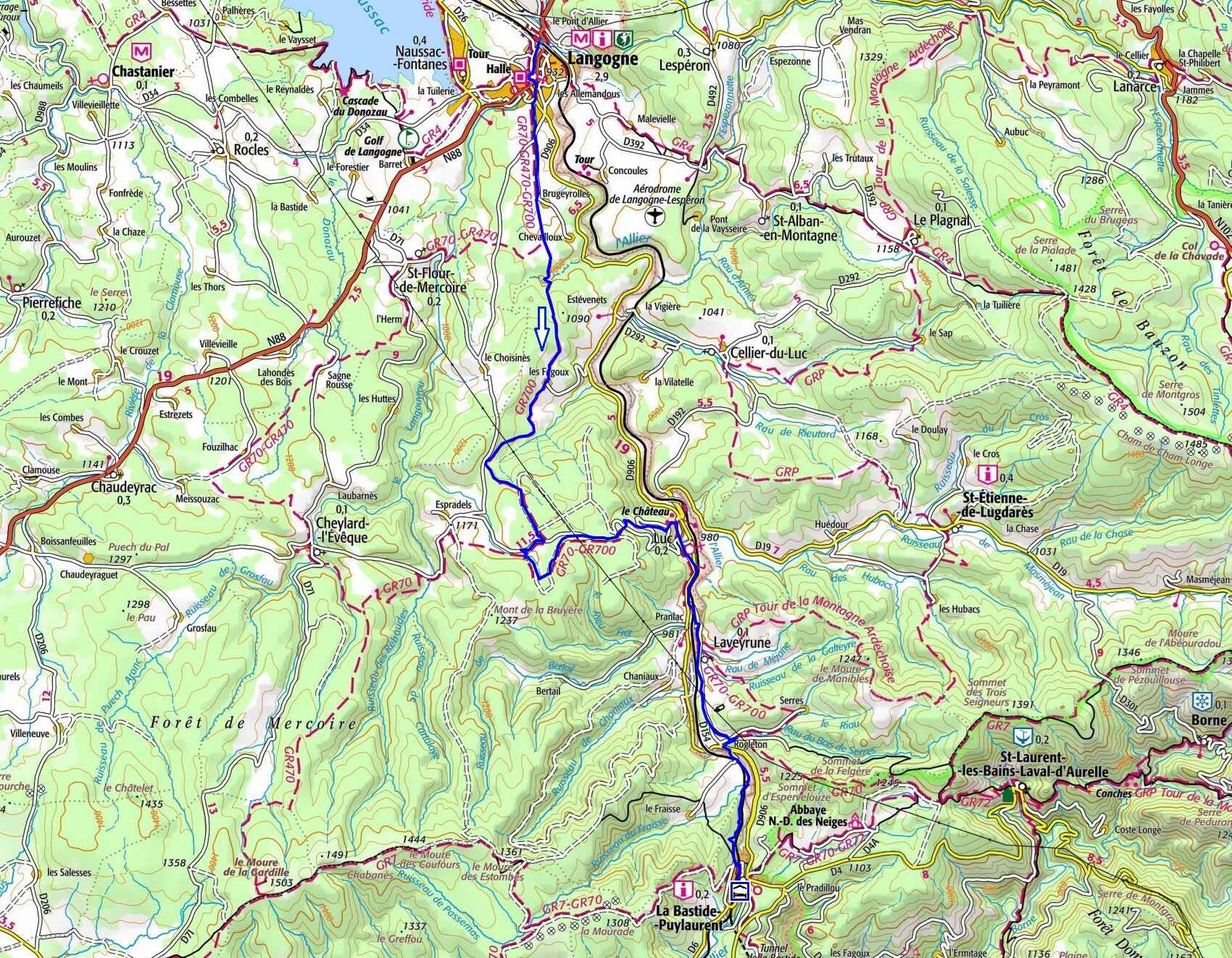
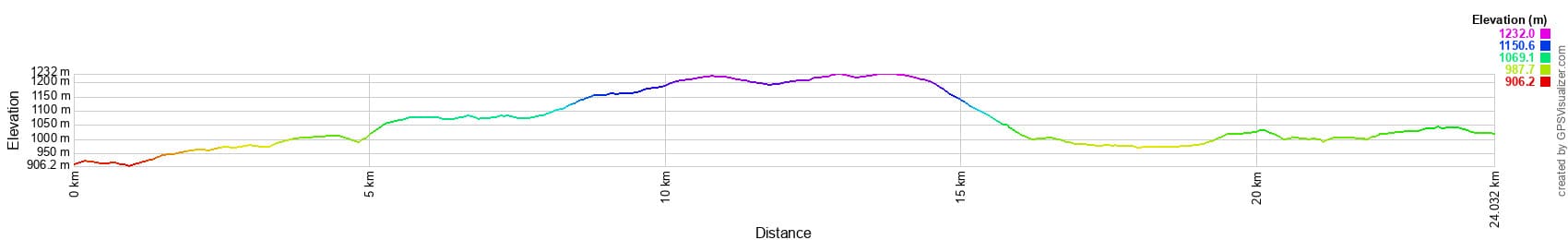
 Distance: 24 km, Maximum altitude: 1,230 m, Minimum altitude: 909 m, Total elevation gain: 537 m
IGN Maps: Langogne (2737E), La Bastide-Puylaurent (2738E), Largentiere La Bastide-Puylaurent Vivarais Cevenol (2838OT)
The Régordane Way (currently the GR®700) is an ancient route that formed the Cévennes section of the old road from Paris to Lower Languedoc, crossing the Massif Central via Clermont-Ferrand, Brioude, Le Puy-en-Velay, Pradelles, Lesperon, Luc, La Bastide-Puylaurent, Prévenchères, Villefort, Génolhac, Chamborigaud, Alès, Nîmes, and Saint-Gilles. The name "Régordane" applied only to the portion between Alès and Luc. It witnessed thousands of transhumant shepherds, Phoenicians, Greeks, Romans, warriors, and pilgrims departing from Orléans to visit the famous abbey of Saint-Gilles. Merchants travelled from north to south selling cloth and linens from Flanders, or from south to north transporting Eastern goods, spices, and precious fabrics. In 1295, Genoese sailors enlisted by the King of France used this route on their way to invade England. "Régordane" was also the name of a family whose members served as jurists in Montpellier and Alès during the 12th, 13th, and 15th centuries. This royal road was supplanted after the 15th century by the straighter route through the Rhône Valley.
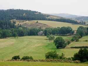
The Castle of Luc traces its origins to a very ancient past, erected on a site once occupied by the Celts, near the Mercoire forest, where the mysterious Tanargue massif lies hidden. Its construction spanned from the 6th to the 10th century, during a time when Gévaudan was an independent province divided into eight baronies. Owned by the lords of Luc — allied with the powerful barons of Randon and, through them, the House of Joyeuse, one of France's most illustrious noble families — these lords were renowned for their bravery, piety, and sense of justice. They held the privileges of minting coins, levying taxes, dispensing justice, and waging war. Respected and feared by their vassals, they were also generous and protective towards the needy, the sick, and pilgrims, who found refuge and assistance in their castle. The Tanargue Massif, ancient and steeped in history, served as a strategic passage between Île-de-France and Lower Languedoc since the Middle Ages, frequented by caravans of merchants, kings, crusaders, and pilgrims en route to Saint-Gilles. It was also the stage for feudal conflicts, peasant uprisings, crusades against the Albigensians, and the Wars of Religion between Catholics and Protestants. Rich in legend and mystery, its landscapes of forests, moors, rocks and peaks offer breathtaking panoramas.