      |
14 km hike in La Bastide-Puylaurent
|
      |
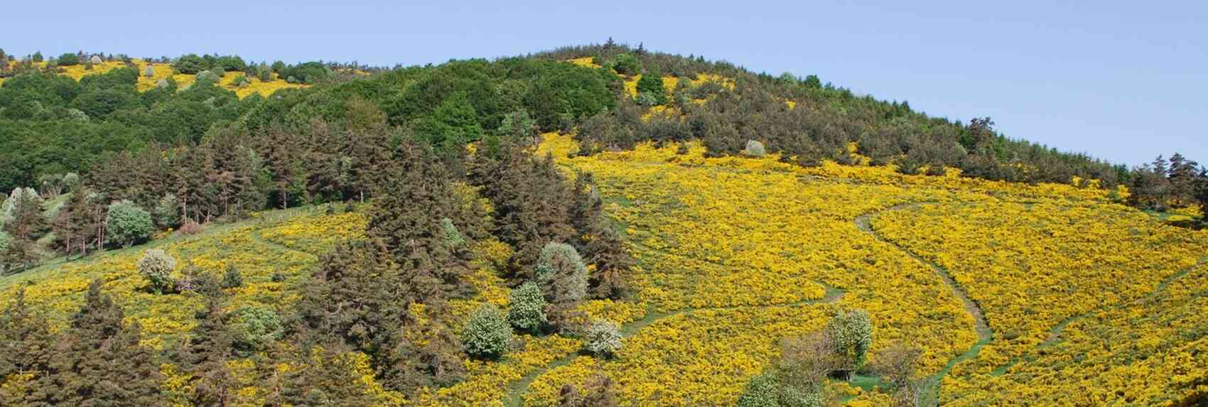
Upon exiting L'Etoile through the gate, cross the street and go under the railway line through the tunnel. Continue to the crossroads, turn right at the tennis court, then take a left while crossing the small housing estate. Climb to the right onto the track and join the GR7, which crosses La Mourade, the Chambounet ravine, the Pont des Taillades, and the Moure des Estombes. Leave the GR and take the track on the right, then turn right again 500 meters further on onto a path that descends towards the Allier valley to the Fraisse river, which you cross at a ford. Opposite, a slightly steep but short climb, then descend towards La Bastide via the level crossing and the station.

4km - 11km - 11,2km - 14km - 15,5km - 16,3km - 19km - 21,5km - 23,2km - 24km
Google Maps - Google Earth - GPX


Distance: 14km, Maximum altitude: 1328m, Minimum altitude: 1014m, Total elevation gain: 429m
IGN Maps: La Bastide-Puylaurent (2738E). Largentiere La Bastide-Puylaurent Vivarais Cevenol (2838OT)
Print the hike
At the beginning of the 16th century, La Bastide was a small village of seven or eight houses on the right bank of the Allier, divided between two territories: the Gevaudan part with the Bastide farm, today called "Trouillas", and the Vivarois part, Chambelongue, where there were some large farms and important dwellings. This village structure remained largely unchanged until 1810, with only a few additional buildings. In the surrounding valleys, there were estates such as the Huttes farmhouse and four "considerable houses" located in the Rieufret valley, as well as a disappeared hamlet called Malataverne, formerly linked to co-lordships between the Chambons abbey and the Viscount of Polignac. Over the centuries, La Bastide served as a waypoint for pilgrims and traders thanks to its position on the Regordane route linking the Gard to the Haute-Loire. Its development took off again in the 19th century with the arrival of the railway, which opened the region to travellers and encouraged the timber trade and the transit of coal. The proximity of the thermal establishment of Saint-Laurent-les-Bains and the Notre-Dame-des-Neiges abbey also contributed to the dynamism of the village.
The GR®7 is a long-distance hiking trail that stretches from the Vosges to the Pyrenees, following the watershed between the Mediterranean and the Atlantic Ocean. It crosses a wide variety of landscapes, including national parks, hills, ancient massifs and distinct terroirs. The route begins at Ballon d'Alsace, in the Vosges, and passes through emblematic sites such as Remiremont, Epinal, Vittel and Dijon, before entering Burgundy and skirting the vineyards of the Hautes Côtes de Beaune. The next section, between Mâcon and Castelnaudary, crosses the Massif Central, passing through regional nature parks and mountains such as Mezenc and Mont Lozere. Hikers discover varied landscapes, picturesque villages and a rich cultural heritage. The last stage, through the Catalan Pyrenees Natural Park and Cathar country, finally leads to Andorra, marking the end of this exceptional 1,000 km journey across France.
Margeride, a rural region of the Massif Central, is evolving towards more specialised agriculture, but it retains unique characteristics. Intensification and mechanisation have been slow, partly due to the lag behind other regions and the specificities of its environment, including its harsh climate and less fertile soils. Farms, although enlarged, remain relatively small, often between 20 and 25 hectares, and land is held by local owners, limiting the sale of land. Agricultural changes, although present, are incomplete. The breeding of veal calves, once important, has declined in favor of dairy farming, with the introduction of breeds such as the Abondance and the Friesian. However, sheep farming persists as a complement, helping to diversify income. The picking of products such as blueberries and mushrooms also remains a traditional activity, even if it is rarely valued locally. Thus, Margeride combines agricultural modernization and traditions, with expanding dairy production and the maintenance of old practices, such as sheep farming and picking. While agriculture remains the main activity, the economy depends heavily on foreign trade, because the region has not developed significant local transformations of its products. Margeride is now at a turning point, with an aging population and little economic diversification, which could lead to the abandonment of land and the expansion of forests. However, it retains its rural character and authentic landscape.

Former holiday hotel with a garden along the Allier, L'Etoile Guest House is located in La Bastide-Puylaurent between Lozere, Ardeche, and the Cevennes in the mountains of Southern France. At the crossroads of GR®7, GR®70 Stevenson Path, GR®72, GR®700 Regordane Way, GR®470 Allier River springs and gorges, GRP® Cevenol, Ardechoise Mountains, Margeride. Numerous loop trails for hiking and one-day biking excursions. Ideal for a relaxing and hiking getaway.
Copyright©etoile.fr


