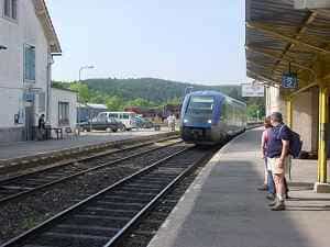
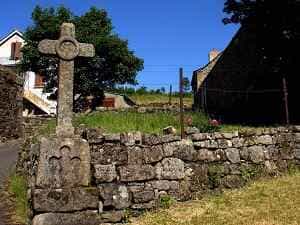
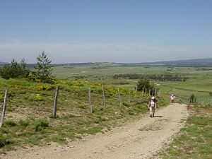
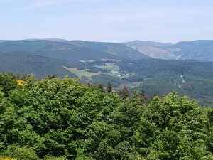
Take the train from La Bastide-Saint-Laurent-les-Bains station, located 300 metres from L'Étoile, to Belvezet (SNCF timetables). Return by following the GR®7 trail for the entire route. Pass through the small village of Les Chazeaux and head up towards the Moure de la Gardille plateau, reaching an elevation of 1,504 metres, where the sources of the Chassezac and the Allier rivers emerge. The trail crosses the Moure des Coufours and Moure des Estombes before passing over the Pont des Taillades. The GR®7 then joins the GR®70 (Stevenson path). Pass through the ravine and the Chambounet and La Mourade woods, then descend into the Allier valley towards La Bastide, enjoying a spectacular view of the Ardèche mountains and the Notre-Dame-des-Neiges abbey in the distance.
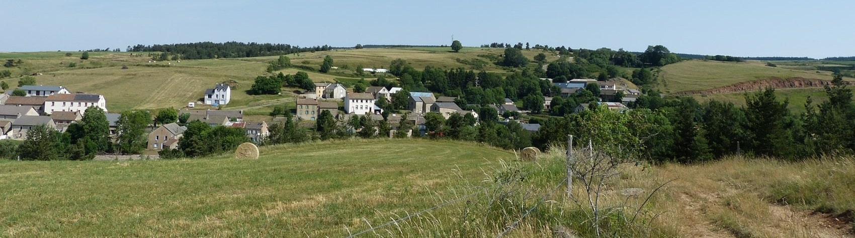
Hike from Belvezet via Chazeaux and Moure de la Gardille
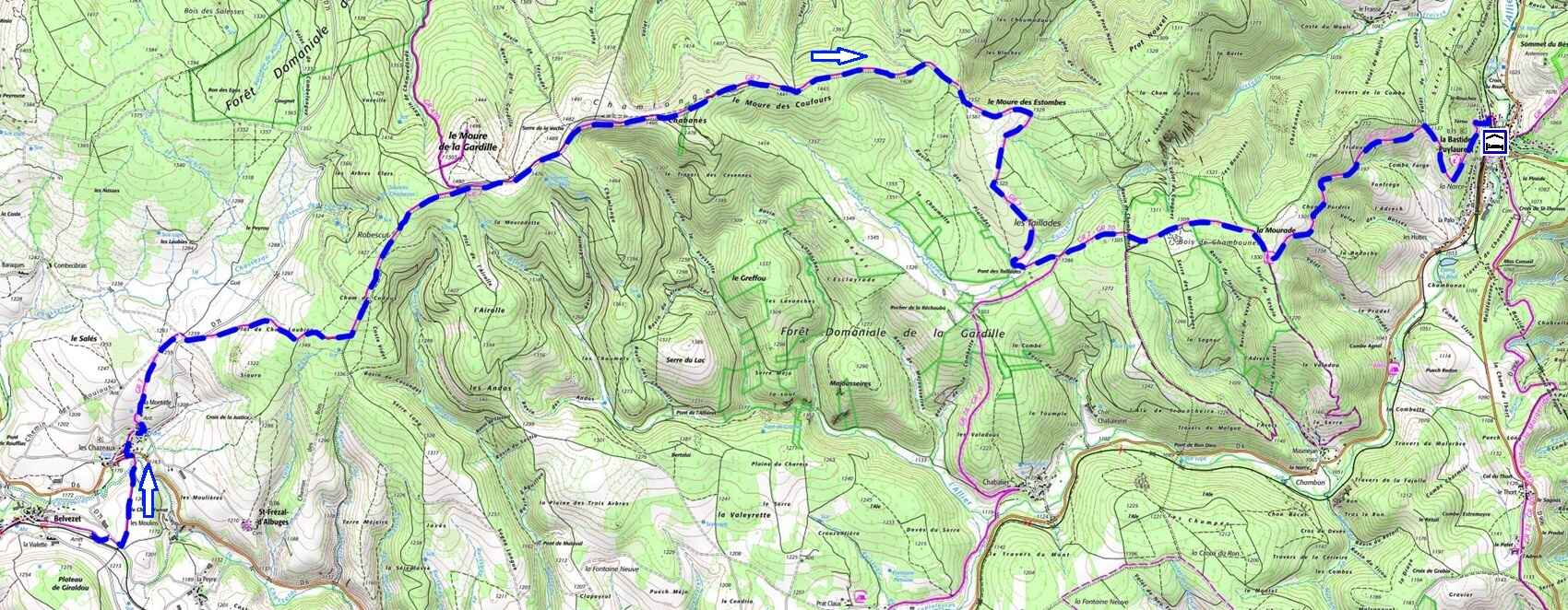

 Distance : 19 km
Maximum altitude : 1,485 m | Minimum altitude : 1,020 m
Total elevation gain : 371 m
IGN Maps : La Bastide-Puylaurent (2738E) / Le Bleymard (2738O) / Largentière La Bastide-Puylaurent Vivarais Cévenol (2838OT).
🖨️ Print the hike instructions
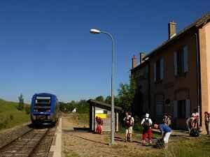
Belvezet is a small French commune located in the Lozère department, in the Occitanie region, on the Montbel plateau (Causse). With a population of around 80 inhabitants, its economy relies primarily on agriculture—cattle, sheep, and goat farming—and tourism, drawn by the region's picturesque landscapes. The commune is rich in biodiversity, home to deer, wild boars, and vultures, alongside diverse flora. Belvezet stands out for its pristine natural environment and magnificent landscapes, including limestone moorlands and high ridges. Its history dates back to the Gallo-Roman era, marked by events such as the Wars of Religion and the Resistance during the Second World War. Belvezet train station, which connects Mende to La Bastide-Puylaurent, is one of the rare lines in France that allows passengers to travel with their bicycles. The Causse de Montbel, known as the roof of France, plays a major hydrographic role, its waters flowing towards several major French rivers. The village is also a starting point for excursions towards the source of the Allier and the Moure de la Gardille.
The Moure de la Gardille, a peak culminating at 1,503 metres, is home to the source of the Allier. Despite the river's importance, its source remains largely unknown to the general public, unlike the famous Mont Gerbier de Jonc, the source of the Loire. Its exact location and the presence of a commemorative plaque have long been the subject of debate. The springs are wild and hard to reach, with water bubbling up from multiple points in the landscape. The sources of the Chassezac and those of the Allier, both located on the Moure de la Gardille, feed entirely separate watersheds: the Chassezac joins the Ardèche then the Rhône, while the Allier flows into the Loire and ultimately the Atlantic, illustrating the complexity of the French hydrographic network. The Chassezac, an emblematic river of the Ardèche region, rises on the western slopes of the Moure de la Gardille in the Margeride mountains, surrounded by forests, moors, and meadows that shelter rich, protected wildlife and plant species.
The GR®7 is a long-distance hiking trail that extends from the Vosges to the Pyrenees, following the watershed between the Mediterranean and the Atlantic Ocean. It crosses a wide variety of landscapes, including national parks, hills, ancient massifs and distinct terroirs. The route begins at Ballon d'Alsace, in the Vosges, and passes through emblematic sites such as Remiremont, Épinal, Vittel and Dijon, before entering Burgundy and skirting the vineyards of the Hautes-Côtes de Beaune. The next section, between Mâcon and Castelnaudary, crosses the Massif Central, passing through regional nature parks and mountains such as Mézenc and Mont Lozère. Hikers discover varied landscapes, picturesque villages and a rich cultural heritage. The final stage, through the Catalan Pyrenees Natural Park and Cathar country, leads to Andorra, marking the end of this exceptional 1,000 km journey through France.