


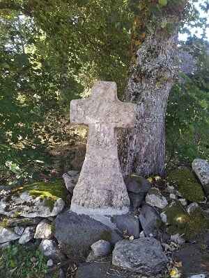
Its name might derive from milia, a Roman unit of measurement signifying "a thousand paces". Similar to modern kilometre markers, this distance was traditionally marked by columns placed along a via.
More probably, the name originates from its geographical location surrounded by water (medio aquae millac, miliacum, millacense). Indeed, the camp is bordered along three-quarters of its circumference by the waters of the Allier and the Donozau rivers. Some historians might even include the lake of Ponteyre, assuming one accepts its highly debated existence.
Another theory links the name to its function as a "mountain of soldiers", translating to a "citadel of soldiers" (mons militum or militum arx). Whatever its exact origin, this was definitively the name of the district (viguerie) encompassing the mountain. Local legend has long claimed it to be a camp of Julius Caesar, although the Roman general likely never set foot there. It is more plausible that his legions—or rather, transalpine occupation troops during the invasion—used the site and transformed it into a fortified camp. It is, after all, a natural fortress perfectly suited for defence.
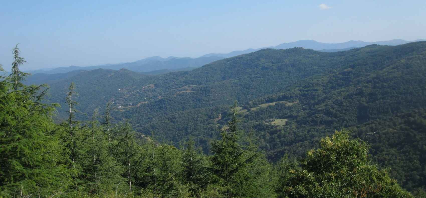
Steep, rocky, and barren slopes protect a plateau situated 200 metres above the water level, while additional fortifications built on the other faces made it an impregnable stronghold. At the summit, an oval perimeter (measuring roughly 210 by 100 metres and covering approximately two hectares) was encircled by dry-stone walls forming a two-sided bastion. These walls were steep on the outside, elevated on the inside, and even featured a paved ditch for water drainage. The entrance on the La Valette side was defended by redoubts; although these have long been dismantled, their former existence is evidenced by large piles of stones gathered nearby.
On the Cheylaret side, halfway up the slope, one can spot a buttress designed for defence. A praetorium, erected in the middle of the grounds on a rocky promontory, overlooked the plateau and undoubtedly served as an observation and command post. Piles of smooth river stones, almost certainly hauled up from the valley, reveal the defensive methods of the time. The surrounding belt of water, formed by the rivers and the Ponteyre swamps, completed the isolation of this castrum, making it a truly formidable stronghold. Its sole weakness was a complete lack of drinking water, which would have made any prolonged siege highly precarious.
This critical flaw in the camp's design actually supports Caesar's own assessment of the Gauls' incompetence in defensive warfare. A similar vulnerability was exposed at Uxellodunum, where the besieged, water-deprived army had to send out suppliers under the cover of night just to secure vital provisions. The Roman commander countered this by deploying slingers and archers, effectively paralysing the camp's essential water supply.
It has been theorised that Mont-Milan, as a Roman oppidum, was never originally a Gabalian camp, since no traces of traditional Gallic walls have been found. The absence of these typical fortifications—which usually consisted of alternating layers of rough stone and horizontal wooden beams packed with earth to absorb the impact of battering rams—can be easily explained. The Romans, upon succeeding the Gabali, simply replaced their enemies' primitive defensive structures with their own advanced engineering.
Ploughing and various archaeological excavations have unearthed only medals, coins, and weapon fragments, almost all of Roman origin. However, the few shards of pottery recovered do not necessarily mean they belonged exclusively to Caesar's legions. Their age and characteristics suggest they date from before 27 BC, predating the Roman invasion. As for the age-old designation of the site as "Caesar's camp", this remains highly speculative. The great Roman general seems never to have visited the Gévaudan region. Historical records indicate that the conquest of the pagus Galvadanus was actually carried out by his lieutenants.
For Caesar to have camped at Mont-Milan, one would have to assume he passed through the Régordane route while marching towards Arvernia, returning from suppressing a rebellion in Narbonensis. Mr Ignon concluded that this was possible, a theory subsequently copied without verification by Abbé Fourcher and Mr Grasset. However, reaching this conclusion requires a blatant misinterpretation of Caesar's Commentaries on the Gallic War.
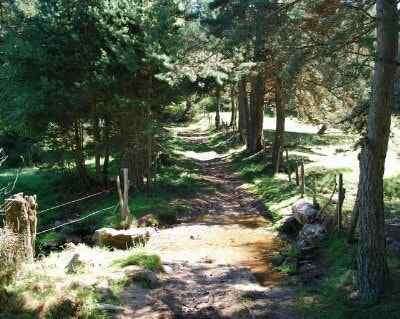
Book VII clearly states: "To cross the Cévennes mountains, which form a barrier between the Arverni and the Helvii, Caesar had the snow obstructing the path cleared during the harshest season of the year. At the cost of enormous exhaustion to his soldiers, he finally reached the borders of Arvernia." Mr Ignon and his followers' mistake therefore contradicts the original text. Departing from the territory of the Volcae Arecomici (in the Gard), Caesar did not take the Régordane Way. Instead, he entered the lands of the Helvii to join his gathered army at Aps (Alba Helviorum) and led them on a forced march towards Gergovia via Saint-Cirgues-en-Montagne, Revessio, and Brivate. Clearing snow and overcoming all obstacles, he launched a surprise attack against his enemies commanded by Vercingetorix.
Since Langogne was located on neither the invasion route nor the legions' path of retreat, Caesar physically could not have stayed at Mont-Milan. At best, one might assume that cavalrymen acting as flank guards detached from the main army to raid and pillage (a standard warfare tactic), protecting the main troops from surprise attacks, and eventually ended up at the oppidum. Alternatively, during their retreat, the legions—seeking to avoid a vastly superior enemy force—might have rested at Mont-Milan while Caesar handed over his command and rushed towards Vienne.
If further proof were needed, one need only consider the sheer impossibility of housing an army of 24,000 men, along with all their equipment (impedimenta), on a two-hectare platform in the dead of winter. We must therefore face the facts: the oppidum was only occupied by the Romans during their invasion of the Gabale territory. Admittedly, it is a shame to dismantle such a beautiful legend and to separate Langogne from the grand figure of Caesar, the great adversary of the famous Gallic chief Vercingetorix. Fortunately, other persistent local legends help keep history alive, particularly those tied to the enigmatic Druidic era and its pagan practices, such as the worship of the golden calf in the forests on the slopes of Mont-Milan.
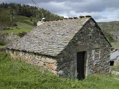
It is well known that the simple Gabale people, worshippers of Teutates and Esus, fostered a passionate love for their hearth and homeland. Stirring ceremonies took place as the invasion loomed, famously recalled in the Velléda episode from Chateaubriand's The Martyrs: "Upon hearing the news that Caesar was crossing the Cévennes, the Gabalian warriors, gathered in the mountain's forest, plunged into the lake. Bearing torches that made their weapons gleam, they formed a long procession of infinite sorrow. To the sound of the harp, the bards sang praises to the god they were about to bury. The druid sacrificed an animal, reading a troubling future in its entrails; then, in an open pit, he concealed the golden sickle and the sacred objects of worship, while the warriors buried their weapons alongside them. The druid then delivered an impassioned speech, intertwining despair with hope. They all swore to preserve their Celtic traditions and to maintain their faith in the god Teutates and the invincible Esus until the day they were freed from the invader, ready to unearth their weapons and revive their forbidden faith, remaining ever loyal to their land."
Alas, the druids were persecuted, their religion withered, and other pagan practices took root. Yet, the Gabalian people kept the spirit of Gallic resistance and the memory of their outlawed religion alive in their hearts. Defying the edicts of Augustus, Tiberius, and Claudius, they secretly met with druids in the woods to practise a cult that gradually shifted towards a form of paganism focused on the veneration of carved animal idols. Among these, the bull was paramount, serving both as a sacrificial victim and a symbol of power and strength. This bull often eclipsed the foreign Celtic deities. Popular devotion was also directed towards the Great Mother of the Gods, the Phrygian Cybele, whose worship spread widely during the reigns of Marcus Aurelius and Antoninus Pius.
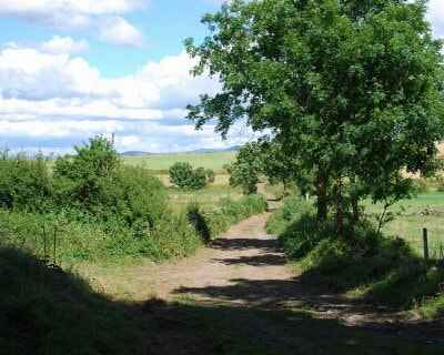
The most extravagant expression of this cult was the taurobolium, which involved sacrificing a bull over a pit covered with a wooden grate. The devotee stood in the pit below, bathing in the blood of the sacrificed animal. They emerged a gruesome, blood-soaked sight, but were symbolically considered cleansed and purified. These ceremonies drew huge crowds. Ordinary citizens, magistrates, priests (the Galli, who were often emasculated and heavily made-up) would slash their own flesh, thrash their hair about, stamp their feet, and writhe in ecstasy. A brotherhood of dendrophores (tree-bearers) carried the sacred pine tree before the goddess, followed by flute players, Cybele's dancers, and a chaotic, wandering entourage of begging and highly suspicious clergy. The festival continued with processions and bizarre, elaborate initiation rites. It all concluded with the consecration of a memorial altar decorated with the bull's head and the sword that had slain it.
These taurobolia drew the fierce hatred and fury of early Christians. Their antagonism was directed squarely at Cybele's devotees, whom they pursued all the way to Mont-Milan. Saint Gregory of Tours preached vehemently against this brand of paganism, comparing it to the madness of the Hebrews worshipping the golden calf while Moses received the Tablets of the Law on Mount Sinai. The conflict escalated against this largely inexplicable cult. While the Gabalian legend of a strong-headed, horned bull symbolising power and courage makes sense, a puzzling question remains: how did these people eventually come to worship a simple calf?
The memory persists of a calf erected on a pedestal, surrounded and celebrated by an idolatrous crowd, facing off against an emerging, fervent, and fanatical Christianity that rallied believers against these polytheistic practices. The Church mobilised its followers and hunted down the pagan worshippers. Religious rivalries triggered bloody brawls, forcing the golden calf's devotees to conduct their ceremonies exclusively at night, hidden within the eerie depths of Mont-Milan's great woods. Their devotions continued but eventually devolved into pitched battles, which ultimately put an end to the rituals. The cult's central emblem, having become too dangerous to keep, was allegedly buried on the hillside in the hope of being unearthed in safer times. Centuries have passed, and the participants of these mysterious gatherings have died without ever revealing where the golden calf was hidden. Despite numerous thorough excavations and searches, it has never been found. The mystery endures: where is the golden calf of Mont-Milan? And with that, the legend faded into slumber.
It is a well-established fact that Mont-Milan is a hill set amidst surrounding waters: the Allier on one side (presumed to be the great river of Aquitania Prima), and the rippling flow of the Donozau stream on the other, crossing the muddy banks of what was once known as the ancient Lake of Ponteyre. But did a lake at Ponteyre ever actually exist?
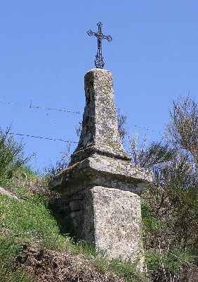
Several historians—including Cord and Viré, Fourcher, Ignon, Grasset, Lhermet, and Aimeras—have studied the Gabale region. Endlessly copying one another, they all mentioned this lake without ever verifying if it truly existed. Some waxed poetic about "its deep waters," undoubtedly alluding to Gregory of Tours' account: "For three consecutive days, on the shores of a Gévaudan lake, a crowd gathered to offer libations and sacrifices. They threw pieces of cloth, wool fleeces, cheeses, bread, and even richer offerings into the waters... these were feasts and orgies that were ultimately cut short by storms summoned by angry gods." Other, less wordy writers simply noted that the Régordane Way (GR®700) passed along the slopes of the oppidum and "skirted the lake's edge." One historian even conjured up a hypothetical settlement "in these parts, complete with a sanctuary that drew crowds of pious pilgrims."
This is how history is sometimes fabricated. There is not the slightest trace of this supposed settlement or its sanctuary. Usually, prolonged human habitation leaves nearly indelible marks: charcoal from fires, pottery shards, carved stone or metal objects, and coins. Necropolises, sarcophagi, or at least simple burial mounds generally indicate where people lived. Yet, absolutely nothing has been discovered at Mont-Milan to this day. Should we hold out hope for some sensational future revelation? For a time, people speculated about stilt houses on the famous lake, but not a single wooden stake or piling has ever been found.
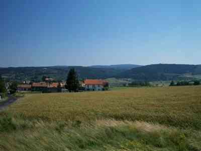
All the aforementioned authors also agreed that a colossal "Roman" engineering feat took place to carve a gorge between the hills of Naussac and Mont-Milan. This was supposedly done to allow the tiny Donozau stream to pass through while simultaneously draining the stagnant waters of Lake Ponteyre. When one considers the titanic scale of the labour required to carve out such a valley, it is baffling that otherwise perceptive writers did not realise how inconceivably absurd the idea was. Not only is the artificial excavation of the valley geologically impossible, but considering the primitive transport methods of the era, where on earth would they have dumped the excavated earth? There are no suspicious mounds of rubble anywhere in the vicinity.
Furthermore, why would the Romans have undertaken such a monumental task? Draining a lake that acted as a natural moat would have only weakened the oppidum's defences while simultaneously destroying a valuable, fish-rich food source. It is impossible to imagine that they wanted to reclaim a useless patch of dried-out land when there were vast tracts of uncultivated wilderness all around them. Various geological arguments also confirm the sheer impossibility of a lake at Ponteyre.
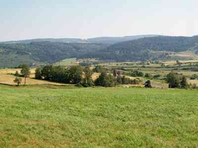
If one examines the vast basin that supposedly contained the lake (which offers a beautiful panoramic view towards Tuilerie, Barre, Bonjour, and all the way to Rocles), one finds farmlands and meadows resting on a bed of gneiss, topped with a basaltic flow from a Pliocene volcano. This terrain bears absolutely no resemblance to a lakebed and lacks even the slightest stratification of sediments typically left behind by stagnant water. From Rocles towards Besses and Ériges lies a Pleistocene peneplain, shaped by the retreating ice age, which shows none of the water corrosion normally found along the edges of a lake. The granite cliffs (from the Stampian age) bordering the Gazelle depression from Ériges to Naussac consist of detrital formations of conglomerates, sandstone, and brightly coloured sandy clays. (Legend even claimed these reddish hues came from the giant Gargantua getting a nosebleed while travelling from Montpellier back to his homeland in the Beauce!) The surrounding crevices show none of the layered sedimentary strata that would have been deposited by still waters.
Conversely, the riverbed of the Donozau contains very pure, pebbly sands composed of rounded quartz and fossilised jasper (dating from the Middle Jurassic). Its regular, gently sloping valley is characteristic of a peaceful stream carrying away spring water without any risk of flash flooding. It flows through a hollow that neither looks like, nor contains the residue of, an ancient lake. An examination of its meanders reveals no stratification that would contrast with muddy or peaty banks. After all, peat forms specifically in flat areas where slow-moving or stagnant water accumulates. Furthermore, not a single aquatic fossil has ever been found here. Faced with these definitive geological facts, the beautiful legend crumbles: a lake at Ponteyre simply never existed.