


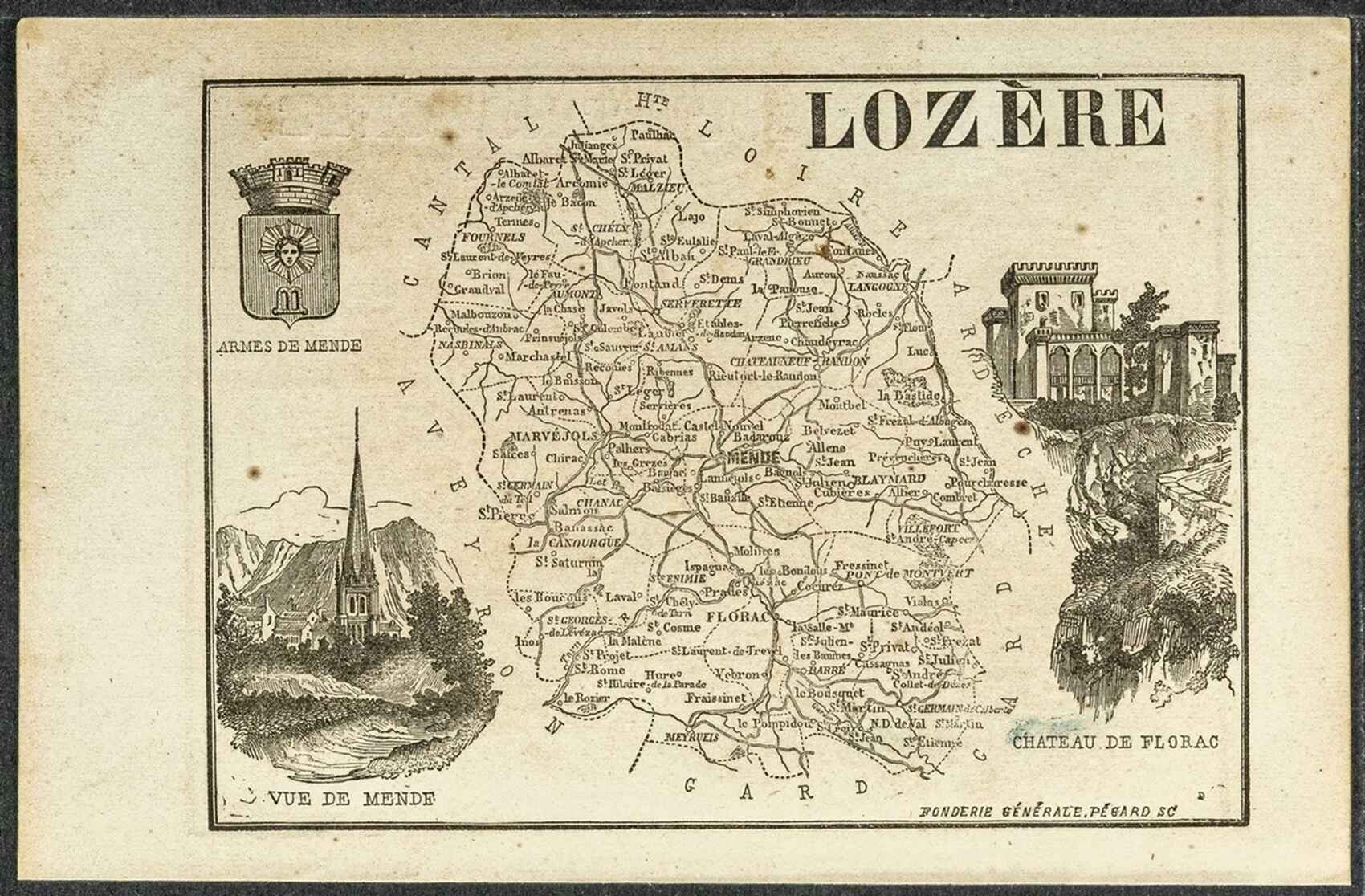
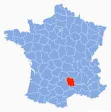
Map and Slideshow of Lozère


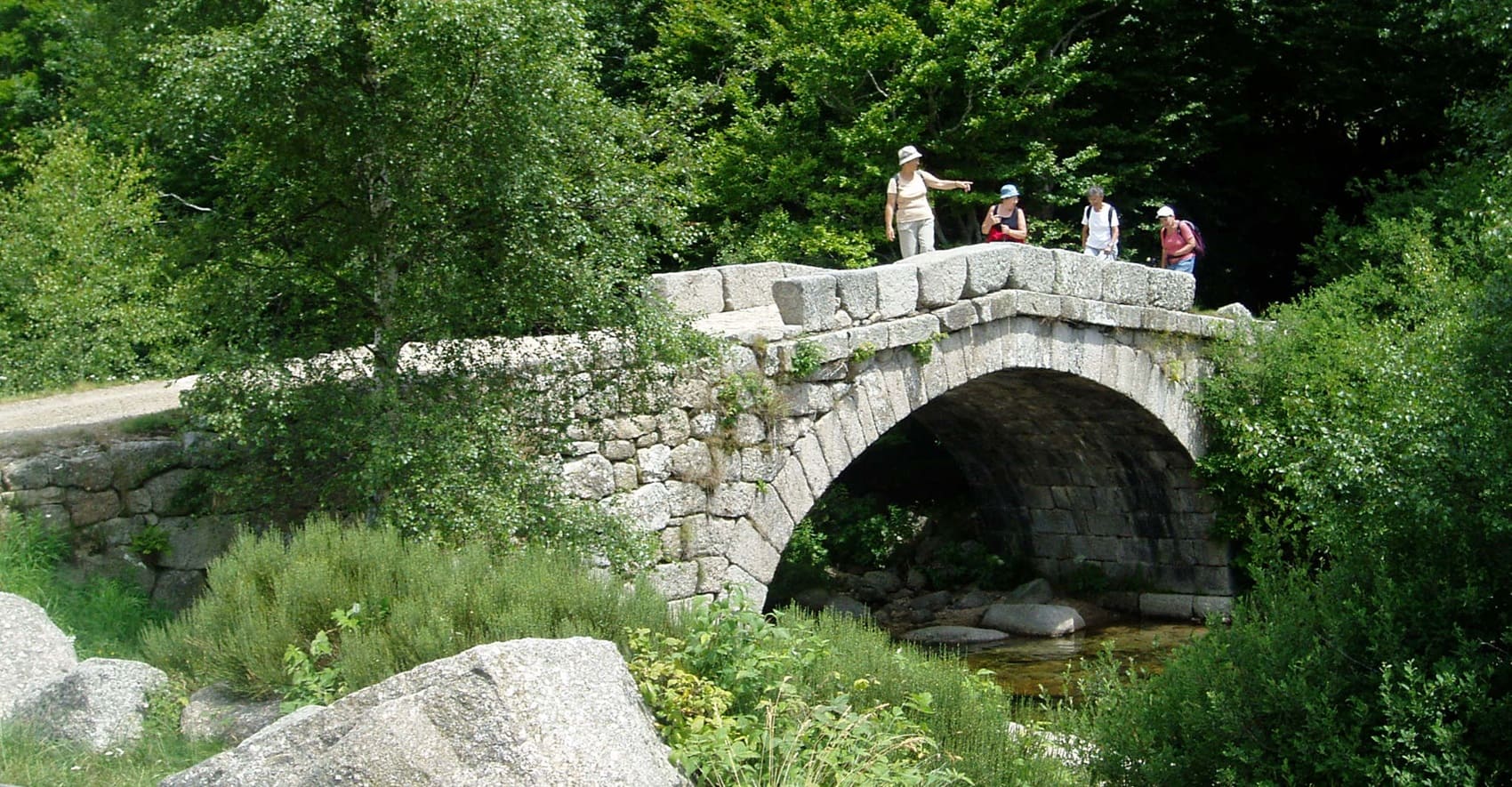
Lozère is a French department located in the Occitanie region, in the south of the country. It is known for its varied landscapes that range from mountains to deep valleys. The department is primarily mountainous, with the Central Massif traversing it. The highest point is Mont Lozère, reaching an altitude of 1,699 meters. Lozère is crossed by several rivers, including the Tarn, Chassezac, Allier, and Lot, which have sculpted impressive gorges such as the Gorges du Tarn. Lozère is characterized by picturesque villages, isolated hamlets, and traditional stone architecture. The houses are often dispersed due to the mountainous terrain and low population density.
The region is also known for its protected natural areas, such as the Cévennes National Park, which attracts nature lovers. Agriculture in Lozère is primarily focused on livestock farming, particularly sheep and cattle farming. The production of cheese, such as Tome, Roquefort, and Pélardon, is a cornerstone of the local economy. Sustainable agriculture and environmentally friendly practices are increasingly encouraged to preserve the landscapes and biodiversity. Farmers in Lozère mainly cultivate cereals (wheat, barley, corn), vegetables (potatoes, carrots), fruits (apples, pears), as well as fodder for livestock, while increasingly shifting towards organic farming. Lozère is home to rich and varied biodiversity. The forests, meadows, and wetlands provide habitat for many animal and plant species. Lozère offers a vast network of hiking trails, allowing exploration of its diverse landscapes, spectacular gorges, and picturesque villages while discovering the richness of its natural and cultural heritage.
Copyright©etoile.fr