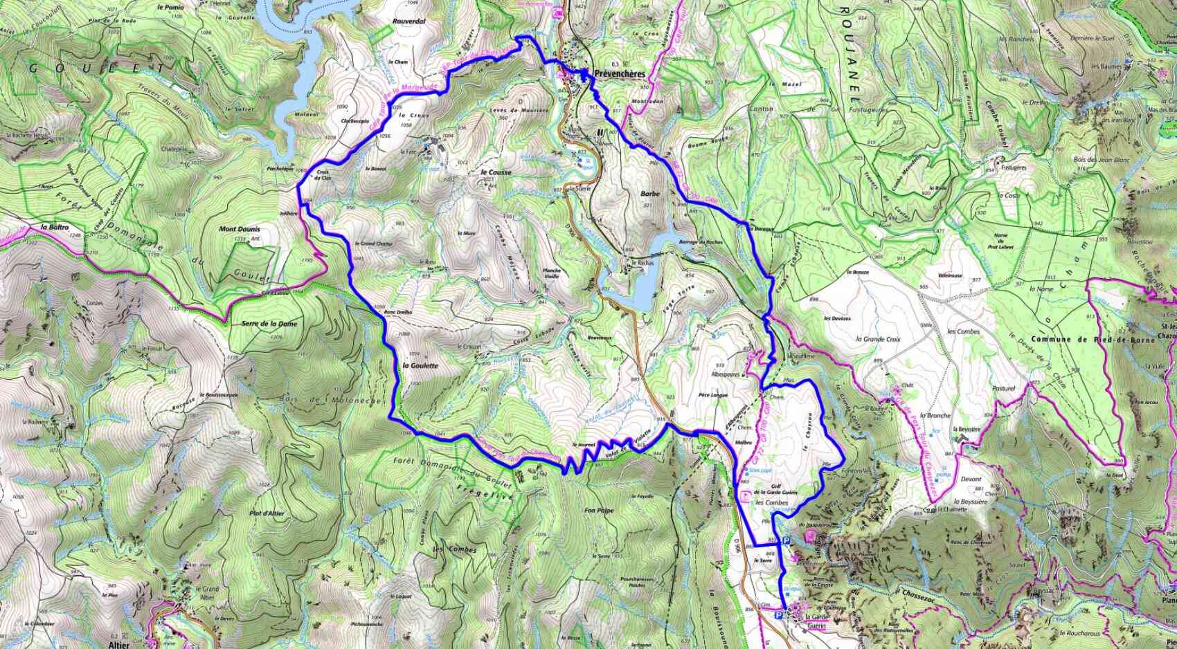


Distance : 20 km
Maximum altitude : 887 m
Minimum altitude : 762 m
Cumulative elevation gain : 190 m
IGN Maps : La Bastide-Puylaurent (2738E), Mont Lozère Florac PN des Cévennes (2739OT), Largentière la Bastide-Puylaurent Vivarais Cévenol (2838OT)
Maximum altitude : 887 m
Minimum altitude : 762 m
Cumulative elevation gain : 190 m
IGN Maps : La Bastide-Puylaurent (2738E), Mont Lozère Florac PN des Cévennes (2739OT), Largentière la Bastide-Puylaurent Vivarais Cévenol (2838OT)