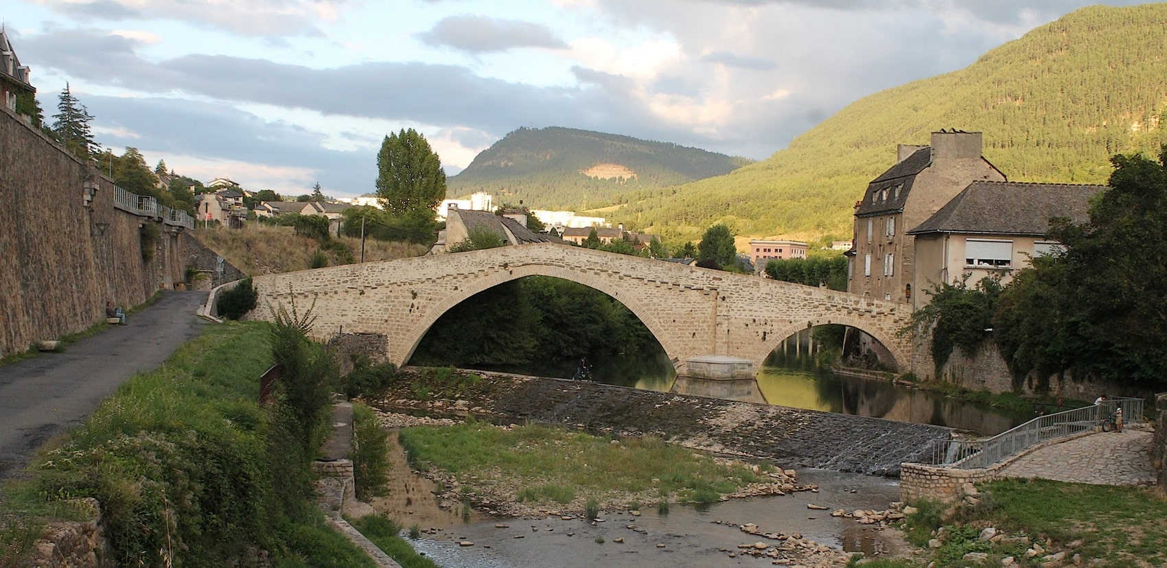
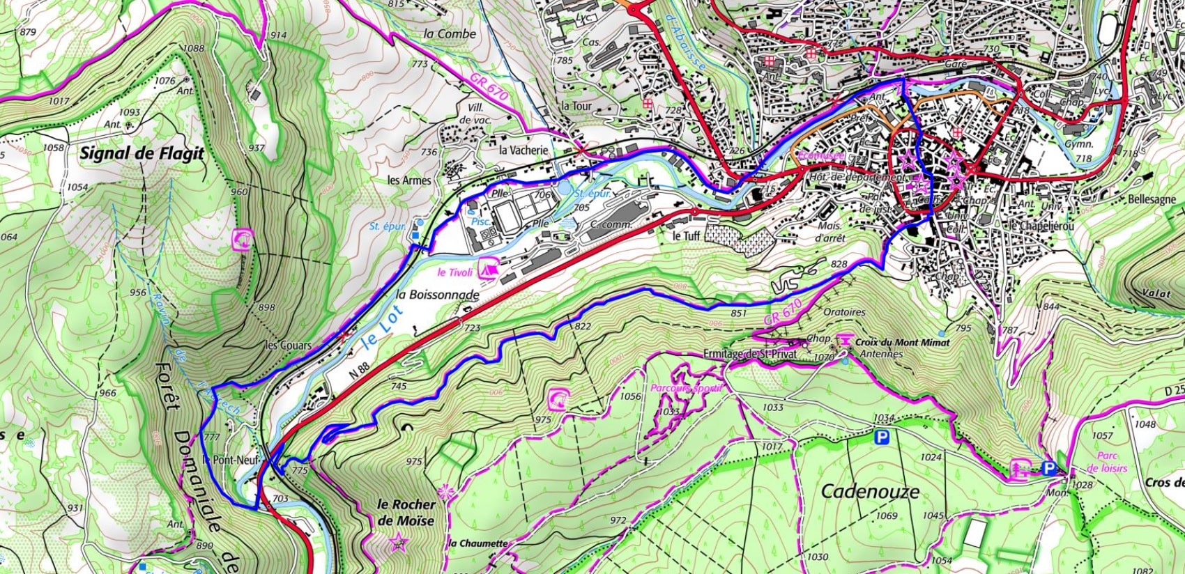

 Distance: 10 km
Maximum altitude: 854 m
Minimum altitude: 702 m
Elevation gain: 234 m
IGN Map: 2638SB - MENDE MARVEJOLS

Distance: 10 km
Maximum altitude: 854 m
Minimum altitude: 702 m
Elevation gain: 234 m
IGN Map: 2638SB - MENDE MARVEJOLS