

15 km Loop Hike from Cheylard-l'Évêque

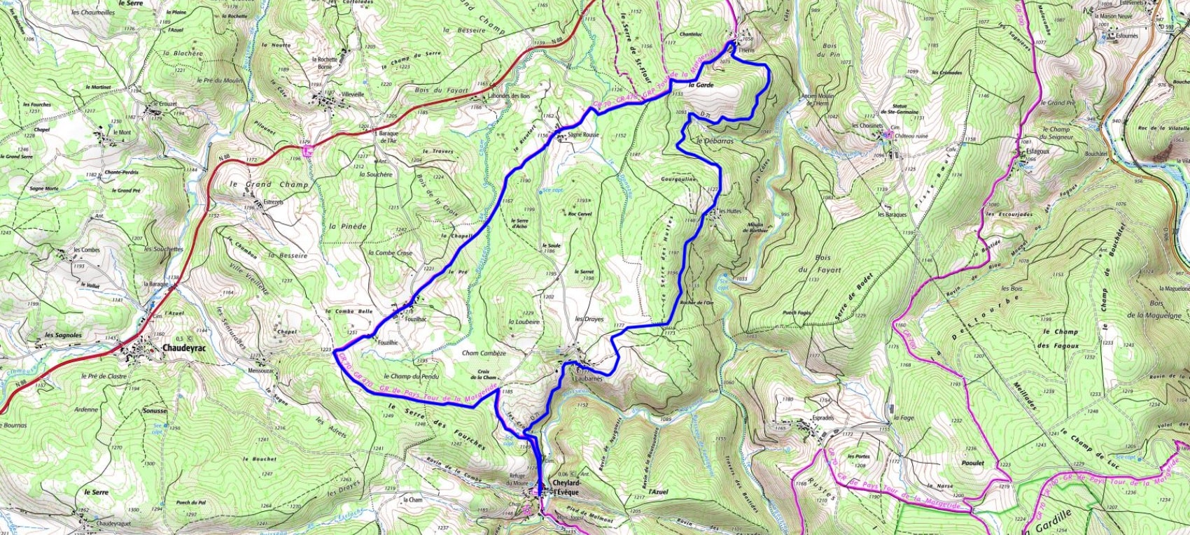
Overview of the 15 km loop hike from Cheylard-l'Évêque (Lozère)
IGN map of the 15 km loop hike from Cheylard-l'Évêque Elevation profile and total ascent of the 15 km hike from Cheylard-l'Évêque

QR code for the GPX track of the hike Distance: 15 km
Maximum altitude: 1230 m
Minimum altitude: 1049 m
Total elevation gain: 237 m
IGN maps: Langogne Grandrieu (2737SB), Le Bleymard La Bastide-Puylaurent (2738SB)