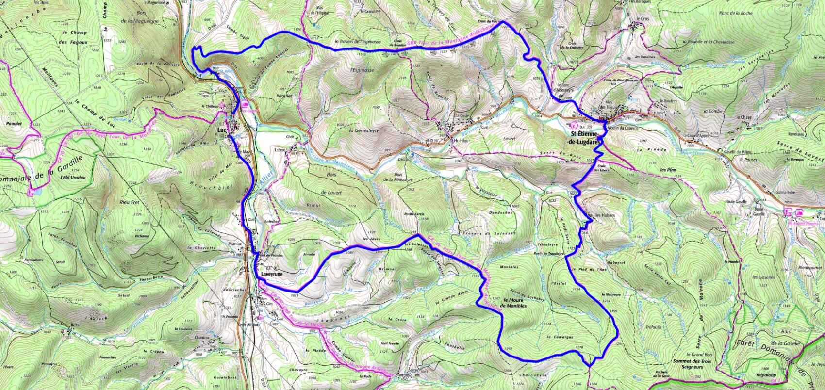

 Avstand: 21 km
Maksimal høyde: 1 294 m
Minimal høyde: 959 m
Total stigning: 677 m
IGN-kart: 2737SB - Langogne Grandrieu, 2738SB - Le Bleymard La Bastide-Puylaurent, 2837OT - Lac d'Issarlès Thueyts Sources de la Loire, 2838OT - Largentière La Bastide-Puylaurent Vivarais Cévenol