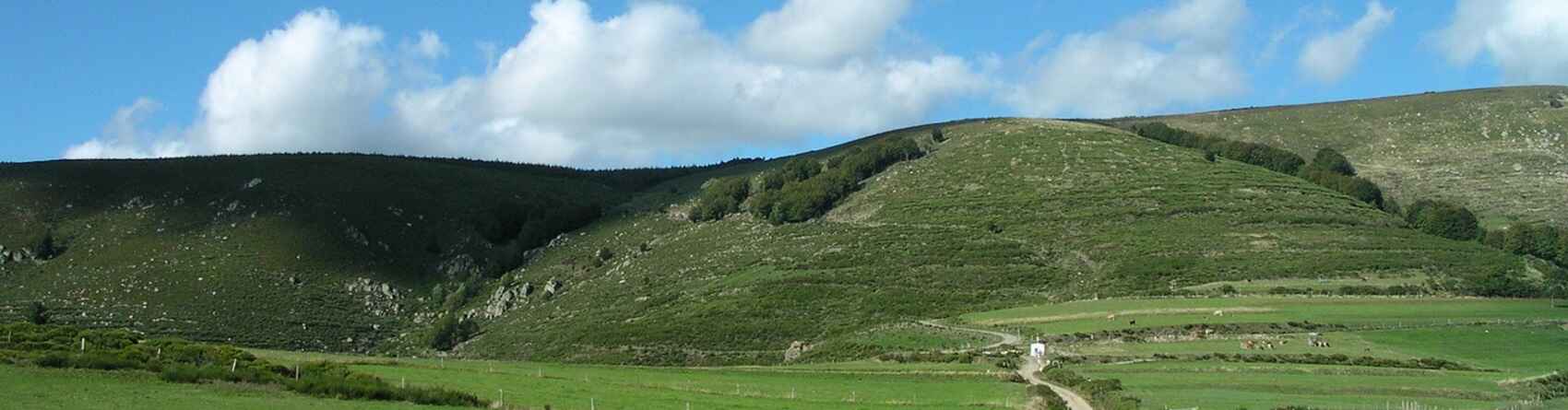
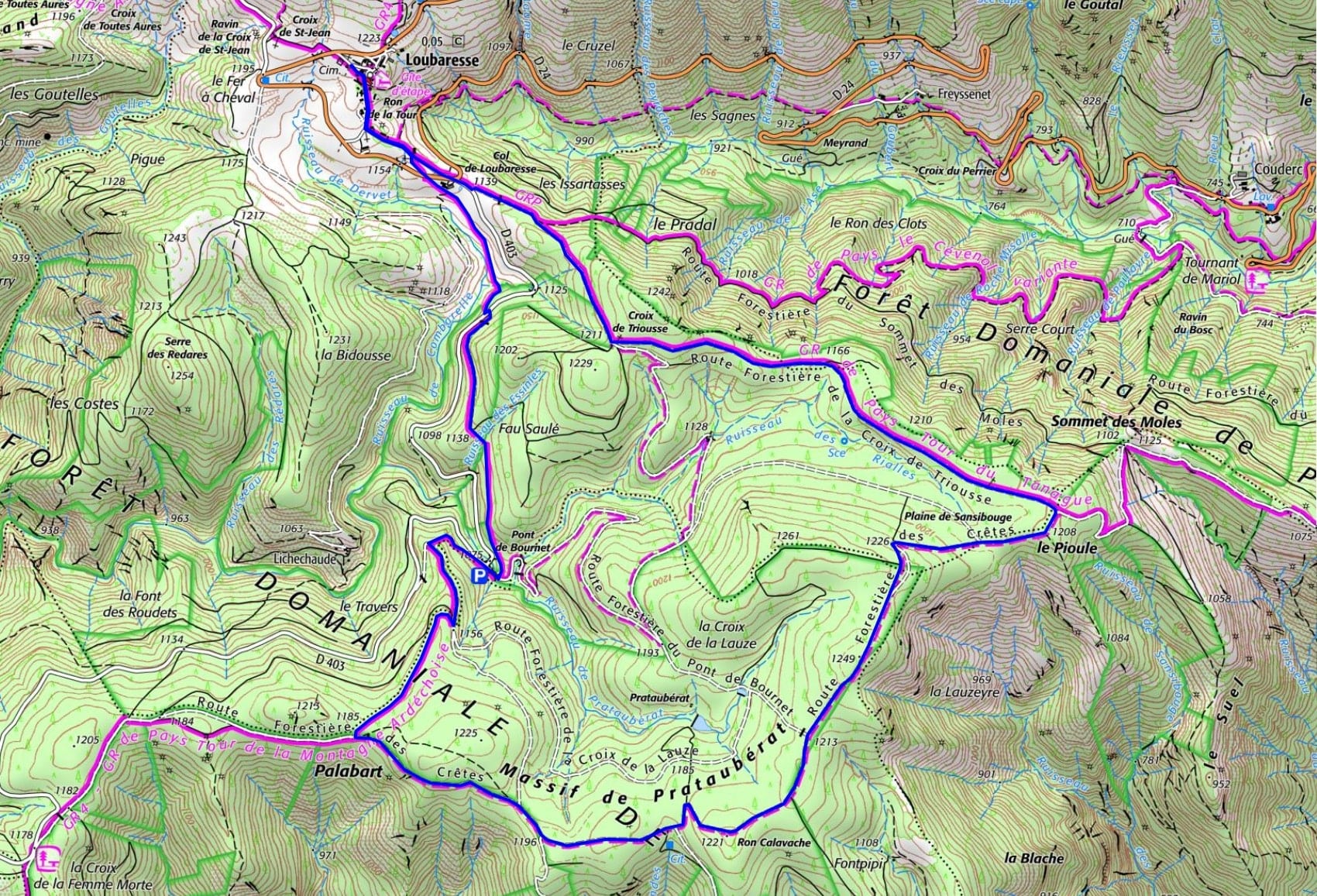

 Distance: 12 km
Maksimal højde: 1 248 m
Minimal højde: 1 074 m
Samlet stigning: 329 m
IGN-kort: Largentière, La Bastide-Puylaurent, Vivarais Cévenol (2838OT)
Distance: 12 km
Maksimal højde: 1 248 m
Minimal højde: 1 074 m
Samlet stigning: 329 m
IGN-kort: Largentière, La Bastide-Puylaurent, Vivarais Cévenol (2838OT)