|
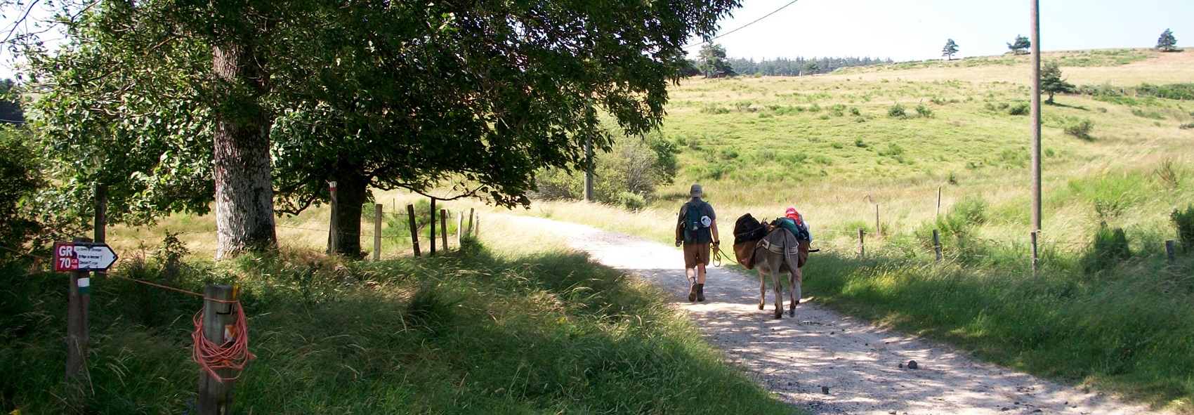
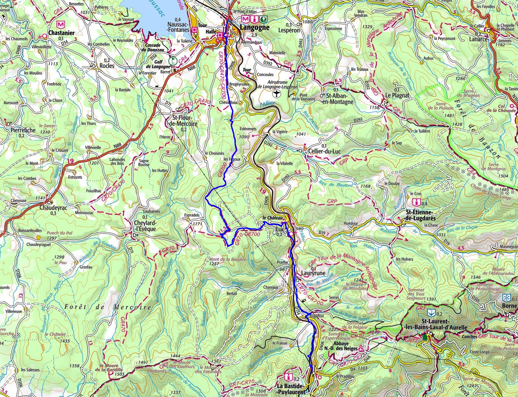
Hike in Lozere from Langogne to La Bastide-Puylaurent via les Fagoux, Mercoire forest, Luc, Pranlac, Laveyrune and Rogleton following the GR®700 Regordane Way |
.
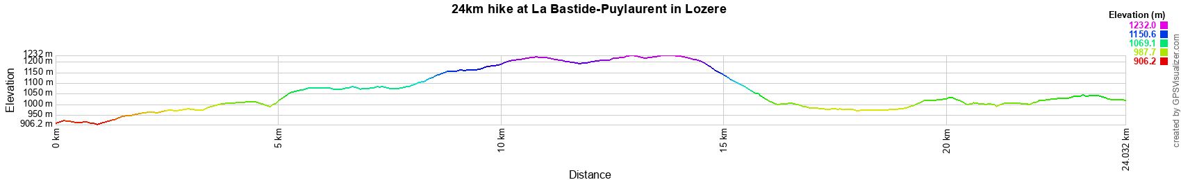
24km hike at La Bastide-Puylaurent
4km / 11km / 14km / 15,5km / 16,3km / 19km / 21,5km / 23,2km / 24km / 27km
 © GPX Private use only |
Distance: 24km, Elevation maximum: 1230m, Elevation minimum: 909m, Elevation gain: 537m
IGN Maps: Langogne (2737E). La Bastide-Puylaurent (2738E). Largentiere la Bastide-Puylaurent
Vivarais Cevenol (2838OT).
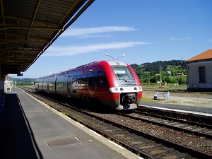
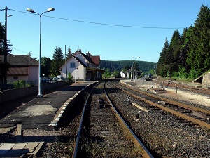
By train: La Bastide-Puylaurent to Langogne (SNCF timetable).