|
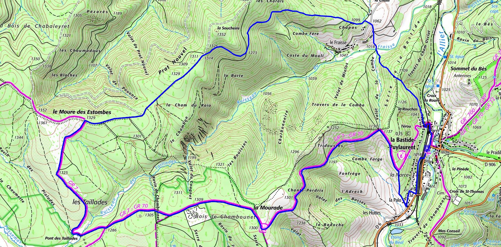
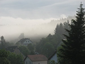
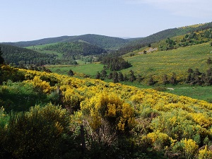
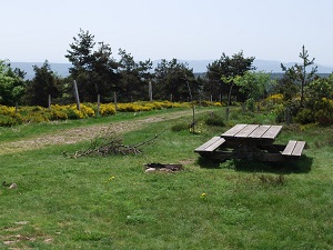
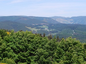
Loop hike from La Bastide-Puylaurent in Lozere via the Moure de la Gardille plateau and Le Fraisse |

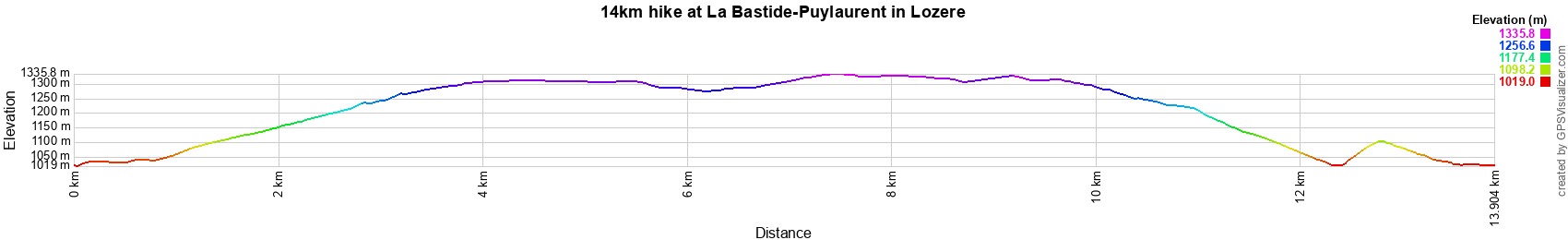
14km hike at La Bastide-Puylaurent
4km / 11km / 14km / 15,5km / 16,3km / 19km / 21,5km / 23,2km / 24km / 27km
 © GPX Private use only |
Distance: 14km, Elevation maximum: 1328m, Elevation minimum: 1014m, Elevation gain: 429m
IGN Maps: La Bastide-Puylaurent (2738E). Largentiere la Bastide-Puylaurent Vivarais Cevenol
(2838OT).