7.6 km vandring i Thines i Ardèche7.6 km lange Wanderung in Thines in der ArdècheCaminata de 7.6 km en Thines en ArdècheEscursione di 7.6 km a Thines in ArdècheΠεζοπορία 7.6 χιλιομέτρων στο Thines στο Ardèche7.6 km vandretur i Thines i Ardèche

7.6 km Hike in Thines

7.6 km vaellus Thinesissä Ardèchessa7.6 km fottur i Thines i ArdècheRandonnée de 7,6km à Thines在阿尔代什省的Thines徒步7.6公里Поход длиной 7.6 км в Thines в Ардеше7.6 km wandeling in Thines in de Ardèche
Thines in Ardèche

Google Maps - Google Earth

IGN Map of 7.6 km Hike in Thines Elevation Profile of 7.6 km Hike in Thines
GPX QR Code

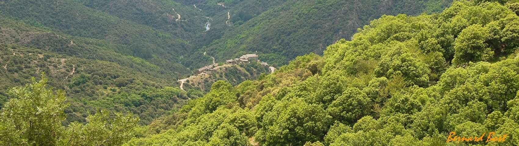
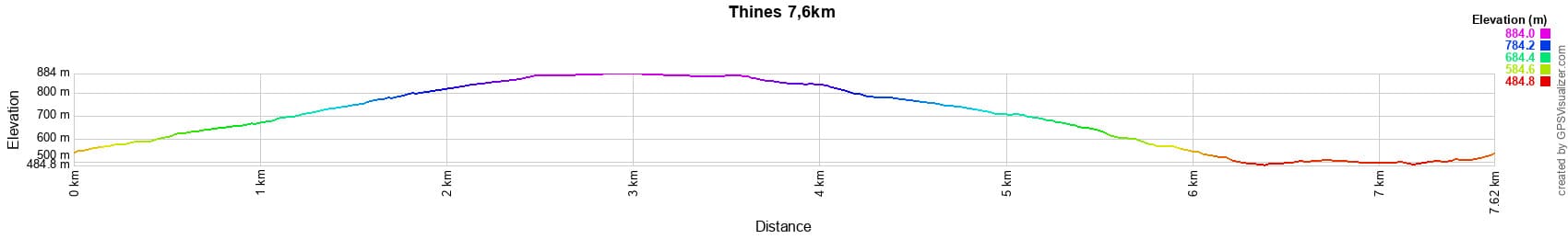
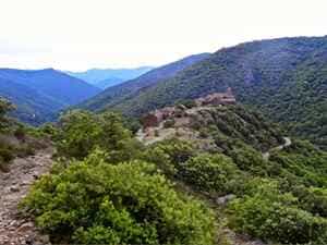
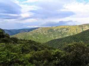
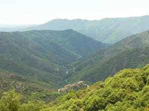
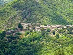
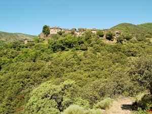
Distance: 7.6 km, Maximum altitude: 882 m, Minimum altitude: 486 m, Total elevation gain: 378 m.
IGN Maps: Largentière la Bastide-Puylaurent Vivarais Cévenol (2838OT).