


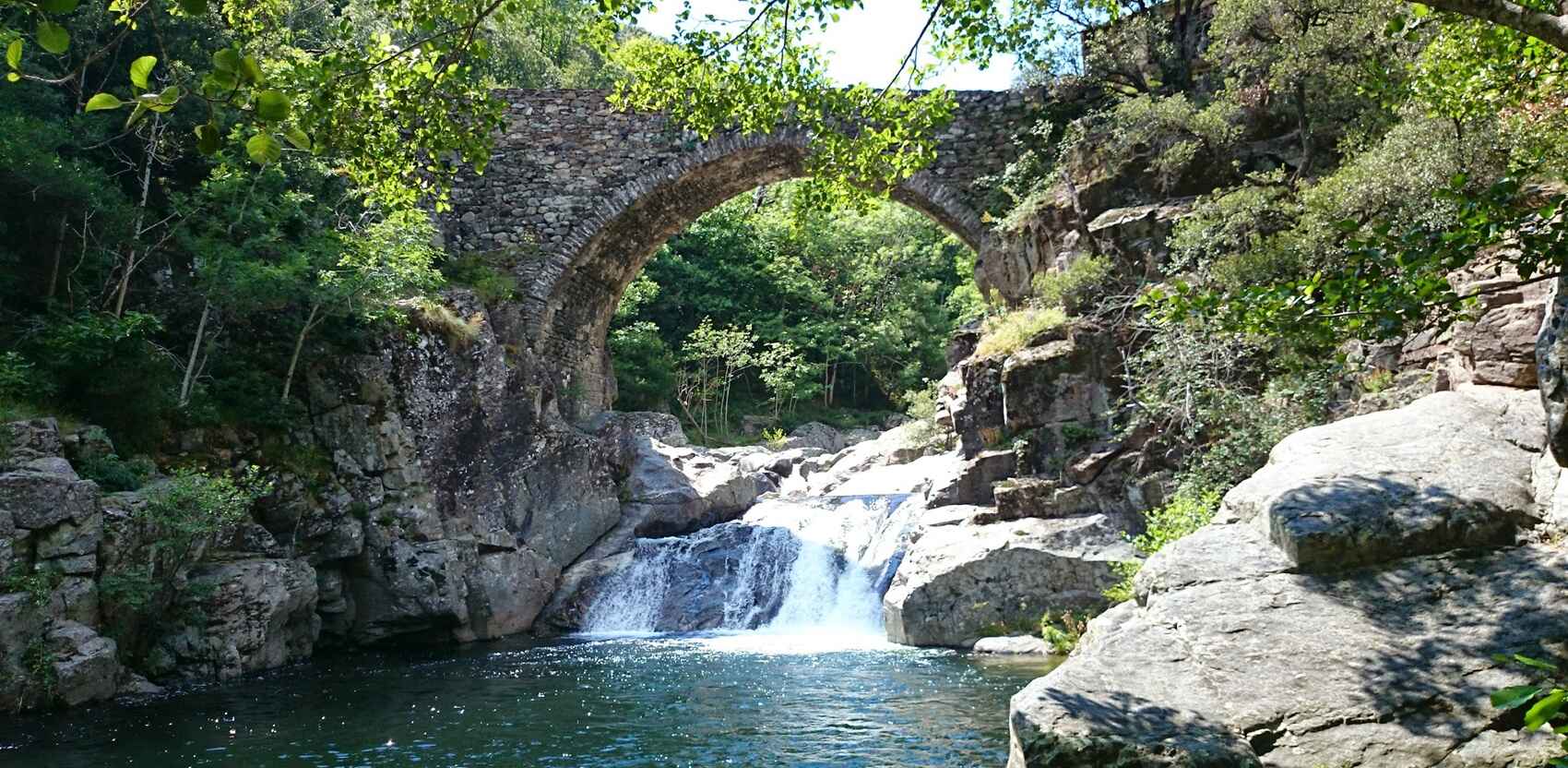
Randonnée de 9,2km à Thines


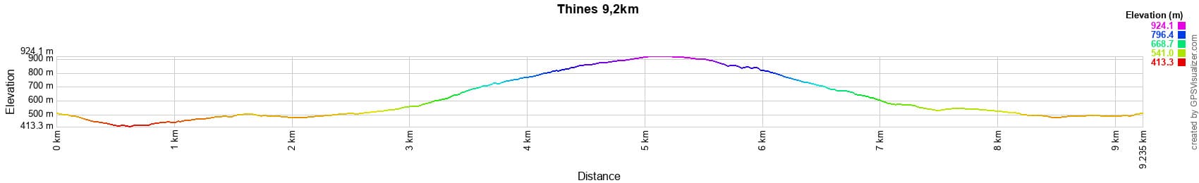

Distance: 9,2km, Altitude maximum: 921m, Altitude minimum: 415m, Dénivelé cumulé: 543m
Cartes IGN: Largentière la Bastide-Puylaurent Vivarais Cévenol (2838OT)
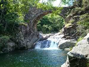
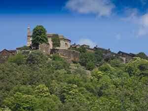
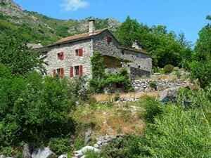
- Thines
- Carte et plan
- Vidéo et diaporama
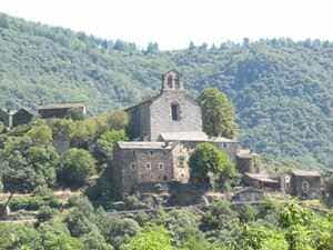
- L'église du village
- Randonnée de 5,5km
- Randonnée de 7,6km
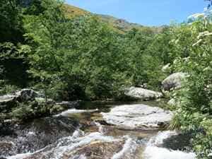
- Randonnée de 9,2km
- Randonnée de 17,8km
- Circuit en vélo de 90km via Thines
- Tour du GRP Le Cévenol
- GR®4 De l'Atlantique à la Méditerranée
- Archives départementales de l'Ardèche
- Aux alentours de L'Etoile
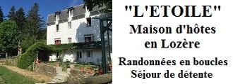
Ancien hôtel de villégiature avec un jardin au bord de l'Allier, L'Etoile Maison d'hôtes se situe à La Bastide-Puylaurent entre la Lozère, l'Ardèche et les Cévennes dans les montagnes du Sud de la France. Au croisement des GR®7, GR®70 Chemin Stevenson, GR®72, GR®700 Voie Régordane, GR®470 Sources et Gorges de l'Allier, GRP® Cévenol, Montagne Ardéchoise, Margeride. De nombreux itinéraires en boucle pour des randonnées et des sorties à vélo d'une journée. Idéal pour un séjour de détente et de randonnée.
Copyright©etoile.fr